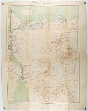
Riguardo questo articolo
Folding colour map, mounted on linen 83.5 x 63cm; 93.3 x 73cm, a few small fold splits (no loss), but in very good condition. A single sheet from the British War Office topographical map series covering the area around the Egyptian city of Port Said and the northern section of the Suez Canal. Shows the Mediterranean Sea coastline, forts, coast guard barracks and stations, built-up area in Port Said, breakwaters, gas and electricity station, petroleum tanks, water works, customs house, quarantine station, Admiralty House, Suez Canal Company office, Port Said Salt Company area, other populated places, road, railway and stations, post and telegraph offices, police station at Mataria, ruins, the Suez Canal from Port Said south to Tina station, Lake Manzala, wetland and sand areas. Includes legend, and general notes on terrain. Codice articolo 195120
Contatta il venditore
Segnala questo articolo